Winter storm targets southern KC with heaviest snowfall; Here’s the timing of snowstorm
READ MORE
Winter storm hits Kansas City
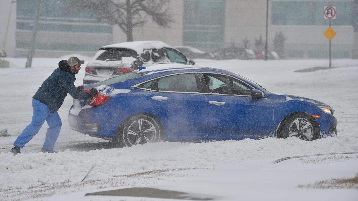
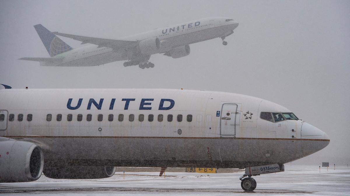
Another round of winter weather has arrived in Kansas City, bringing with it ice, snow and wind gusts up to 35 mph. The storm has caused slick roads as well as school and office closures.
Expand All
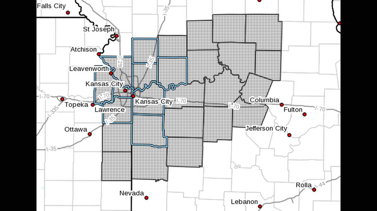
A powerful winter storm that will pass through the Kansas City region overnight and Thursday has targeted the southern part of the metro with the heaviest snowfall totals, according to the National Weather Service.
Like the last winter storm, the metro area will once gain see a sharp gradient between low and high amounts, Jonathan Kurtz, a forecaster with the National Weather Service said during an afternoon briefing.
Places like St. Joseph could see only a trace of snow. Meanwhile, downtown Kansas City could see as much as 6 inches. The heaviest snowfall is expected in a band across the southern part of Kansas City, along the Interstate 70 corridor through Moberly, where 6 to 8 inches of snow is possible.
Rain is expected to develop Wednesday afternoon with a few thunderstorms possible. The rain will begin to transition over to freezing rain and sleet between midnight and 6 a.m. for most areas.
The Kansas City area is expected to see one tenth of an inch or less of ice accumulation. The greatest ice accumulation is expected across the Ozarks, Kurtz said. Ice and sleet totals could affect overall snowfall totals.
The freezing rain and sleet is expected to change over to all snow between 5 and 7 a.m. in the Kansas City metro area. Snow will eventually come to an end by the evening. Winds will be strong with gusts between 30 and 35 mph, which could led to some blowing and drifting snow.
Road conditions for the morning commute are expected to deteriorate pretty quickly during the morning commute, especially across southern part of Jackson County, Kurz said. The evening commute might be a little bit better, but it will depend on how fast road crews can clear them.
A winter storm warning has been issued for Kansas City and surrounding areas that goes into effect at midnight and continues through 6 p.m. Thursday.
This story was originally published February 16, 2022 at 4:24 PM.