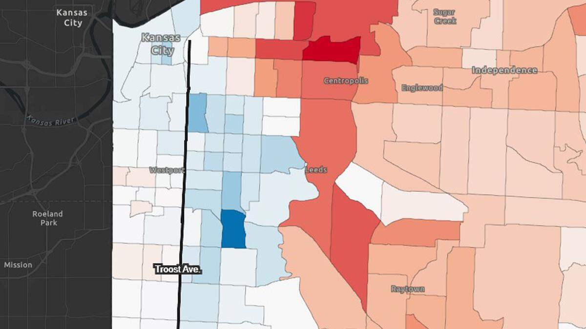
Use these interactive maps to see how Kansas City has turned whiter east of Troost
READ MORE
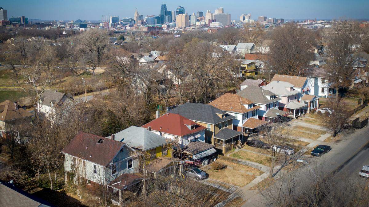
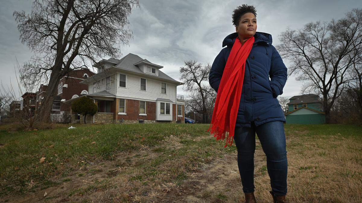
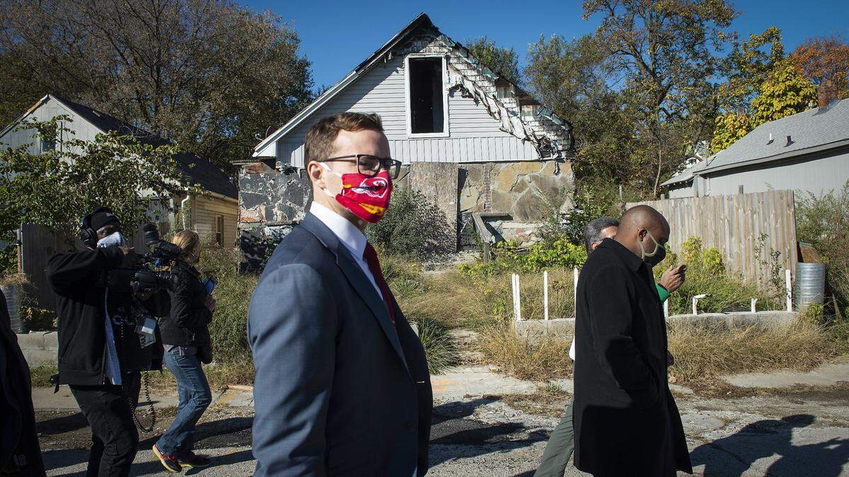
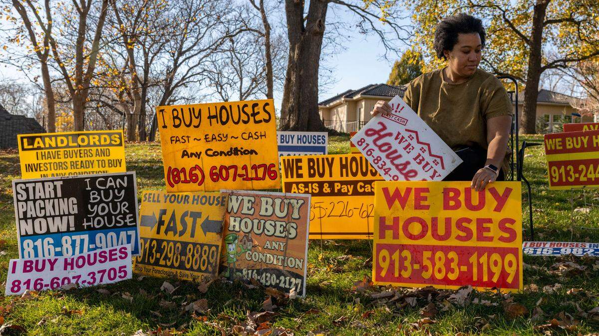
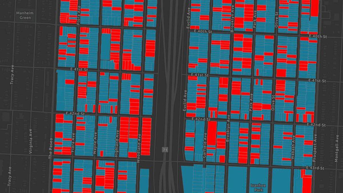
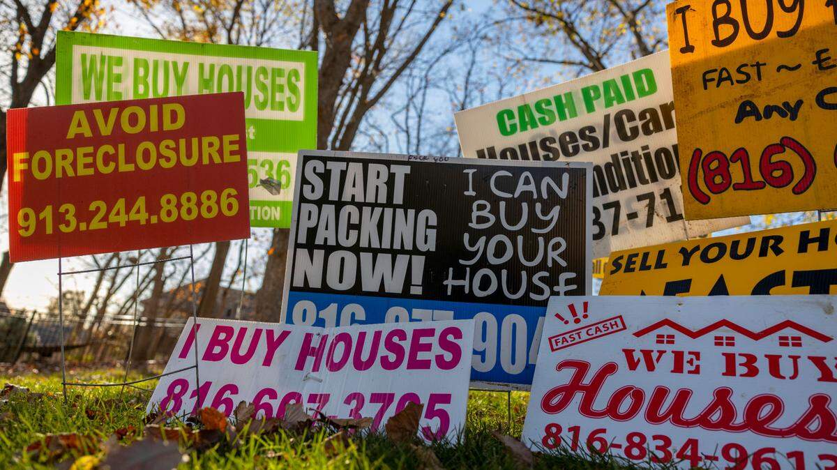
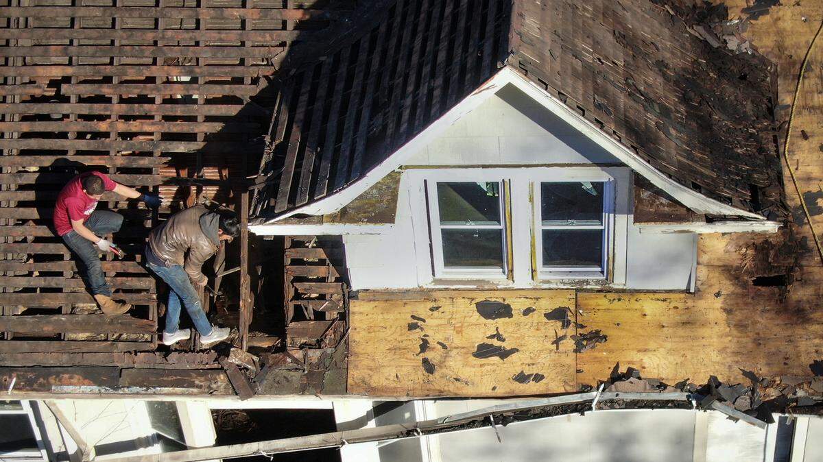
Kansas City’s East Side land grab
A 2021 Star investigation looks into how a neglected section of the city has become a hunting ground for real estate speculators and why many Black residents feel they are once again being exploited and left behind.
Expand All
This story was originally published December 12, 2021 at 5:00 AM.

Neil Nakahodo
The Kansas City Star