Tornadoes touch down in Paola, Ottawa; warnings issued across KC metro
At least two tornadoes touched down in northeastern Kansas Monday evening, according to a National Weather Service meteorologist.
The severe weather comes as the Kansas City area gears up for a muggy and stormy week. The National Weather Service issued tornado warnings and watches in several other metro counties.
In a phone call with a Star reporter, a National Weather Service meteorologist confirmed at least two tornadoes moved through northeastern Kansas. One stemmed from a storm in Johnson and Miami counties. The other came from a storm in Linn and Bates counties.
The weather service will conduct damage surveys Tuesday morning, the meteorologist said.
According to a preliminary local storm report from the National Weather Service, a tornado was spotted in Franklin County, just outside Ottawa, at 7:15 p.m.
The tornado reached Ottawa around 7:40 p.m., where damage was reported on South Main Street between West 15th and West 23rd Streets just minutes earlier.
A preliminary local storm report indicated wall damage to a hotel, roof damage and a “wall down” at a gas station, a “roof removed” from a local donut shop and several trees down. Residents were also without power at the time of the report.
The tornado continued east, where it was observed in Paola, Kansas, around 8 p.m., according to a post from the National Weather Service.
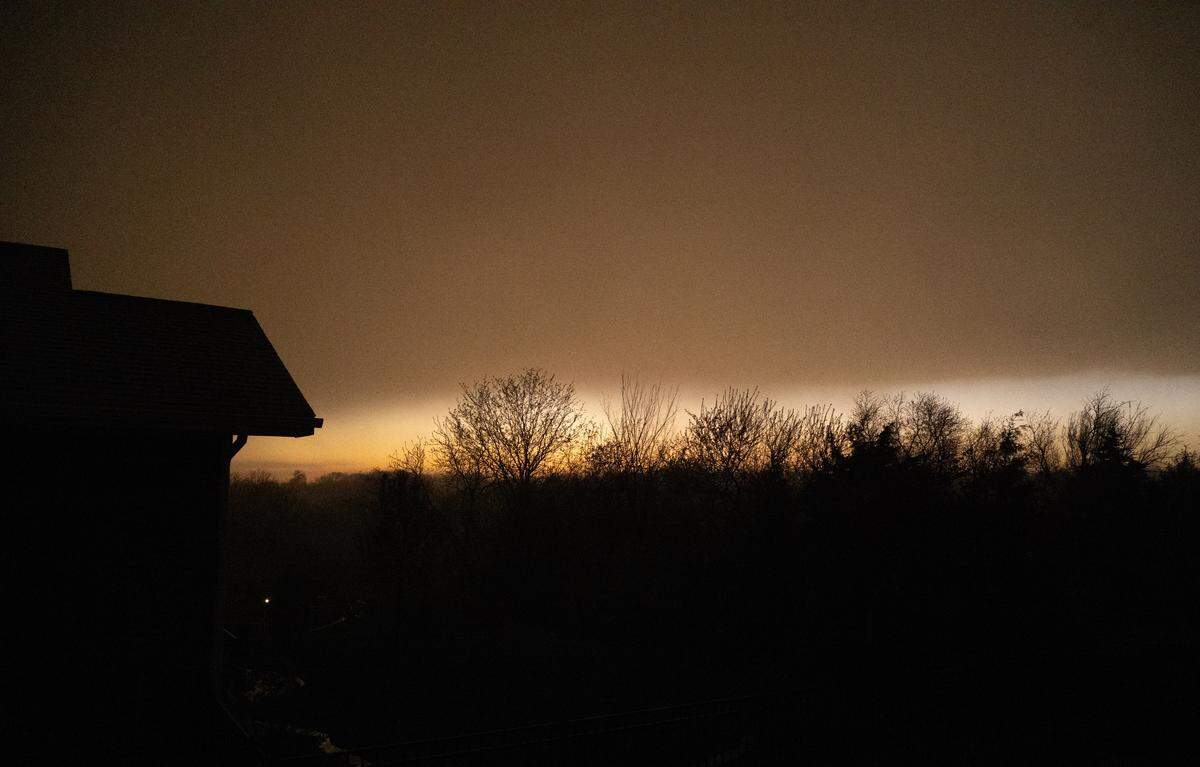
The severe storm also had the potential to produce hail up to two-inches, according to the tornado warning.
The tornado continued to move east past Paola, according to the National Weather Service, with tornado warnings affecting Amoret, Missouri, Foster, Missouri, and Boicourt, Kansas, until 9 p.m.
A tornado warning was issued in Pleasanton, Mound City, Hillsdale, Bucyrus, Wagstaff and Hume, Missouri, until 8:45 p.m., according to a post from the weather service.
Just before 9 p.m., a tornado warning was issued in Missouri affecting Butler, Passaic and Ballard until 9:45 p.m., according to the National Weather Service. While it wasn’t confirmed a tornado touched down, one was indicated on the weather radar.
A severe thunderstorm warning was issued in Kansas for Paola, Hillsdale, Chiles, Bucyrus and Louisburg until 9:45 p.m., the National Weather Service said.
Olathe, Gardner and Spring Hill were placed under a severe thunderstorm warning until 9 p.m.
At 6:35 p.m. Monday, the National Weather Service issued a tornado watch affecting several counties in both Kansas in Missouri until 11 p.m.
Affected counties in Kansas include Douglas, Johnson and Wyandotte counties. In Missouri, Bates, Cass and Jackson counties were also issued the watch.
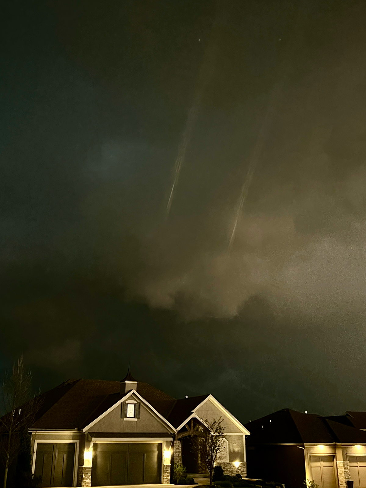
The severe weather statements come as a thunderstorm moves northeast through the region, according to the weather service’s radar.
The National Weather Service previously predicted a warm, windy Monday with temperatures as high as 80 degrees. Wind gusts up to 25 to 35 mph were expected.
The Star’s Robert A. Cronkleton contributed reporting.
This story was originally published April 13, 2026 at 7:08 PM.