What is a supercell? What to know about this uncommon and severe storm type
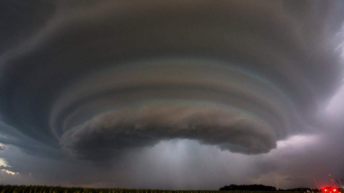
Spring in Kansas City means thunderstorms and sometimes even tornadoes. Rarely, the Kansas City area sees a rare type of thunderstorm known as a supercell.
What is a supercell, and what should you look out for? Here’s what you need to know:
What is a supercell?
A supercell is a large thunderstorm that has a deep and persistent rotating updraft. It looks like a very tall storm cloud that has an anvil or elongated cloud at the top, according to the National Weather Service, and it can last for hours.
Nearly all supercells produce some sort of severe weather.
It is the least common type of thunderstorm, but it has a high likelihood to produce severe weather including:
- Damaging winds, sometimes as much as 100 mph
- Very large hail
- Weak to violent tornadoes
“If the environment is favorable, supercell thunderstorms can last for several hours,” the weather service said in a blog post.
Only 30% or less of supercells or less produce tornadoes, but they all produce some sort of severe weather, according to the weather service.
While supercells are the least common type of thunderstorm, they are most common in the central part of the United States.
Joseph Hernandez contributed to this report.