Why is storm hitting KC blizzard-like, not a ‘blizzard’? Winter weather terms, explained
READ MORE
Winter storm hits Kansas City
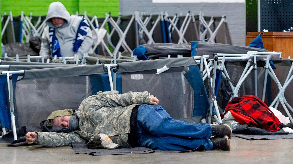
A winter storm hit Kansas City on Thursday, Dec. 22, bringing bitter cold temperatures, freezing drizzle and snow. Blizzard-like conditions are expected to make travel treacherous for a few days. Here’s the latest:
Expand All
Kansas City is expected to get some nasty weather right before Christmas. Blizzard-like conditions, snowfall, extremely cold temperatures — even reaching the negatives — dangerous wind chills and more make up the winter storm on its way.
You’ve heard all the tips by now — stay inside and bring your pets with you, bundle up if you have to leave, fill your gas tank — and all of that good stuff (and if you haven’t by now, read our winter weather guide).
You’re most likely hearing a lot of weather-related words thrown your way, and it can be confusing trying to figure but what they mean exactly. In preparation for a highly-likely white Christmas, we broke down a few key terms ahead of the winter weather event hitting Kansas City.
A BLIZZARD? IN KC?
Possibly. Blizzard-like weather is expected to hit the metro on Thursday, according to the National Weather Service.
Blizzard is a technical term with a specific definition, so that’s why forecasters have been saying “blizzard-like.” And to some people’s surprise, it has more to do with wind than snow.
“The most common misconception about blizzards is that you need to have an insane amount of snow,” Alex Krull, a meteorologist with the National Weather Service, said. “A lot of people think that you need to have 10 inches of snow to have a blizzard, and that’s not what constitutes a blizzard.”
A blizzard is when there are sustained winds or gusts of at least 35 miles per hour and visibility of a quarter mile or less for at least three hours. Experts don’t know if the winter storm that’s coming through KC will meet that threshold exactly, but there will be high winds blowing the snow around, making it difficult to see and dangerous to drive. That’s why people are saying “blizzard-like.”
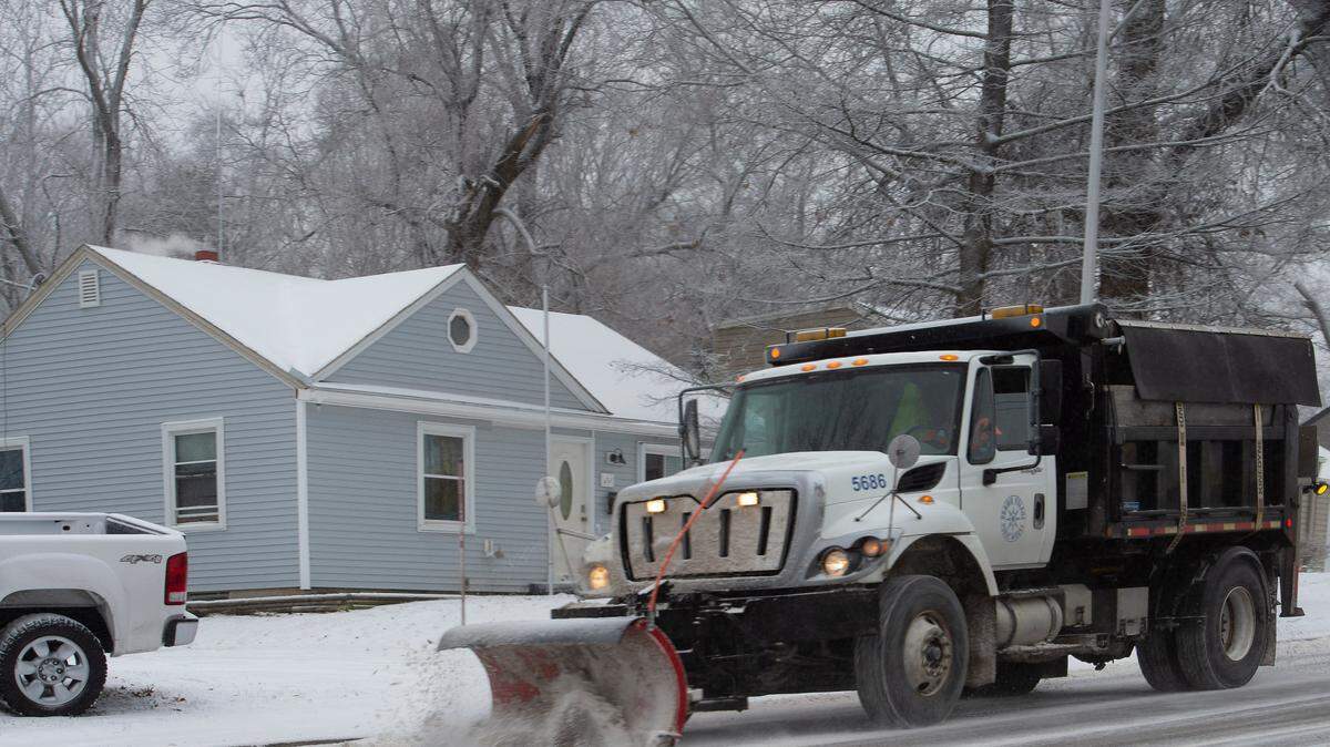
SNOW EMERGENCIES. WHO ISSUES THEM?
The NWS does not issue snow emergencies for regions. Those come at the discretion of your city or county. When a snow emergenct is issued, it changes the rules to make snow removal easier, such as limiting where you can park on the street or limiting cars from driving on the roads unless they have snow tires.
Each county and city has different guidelines for calling a snow emergency, so sign up with your local government to receive alerts:
The Star created this guide for street parking rules during a snow emergency, depending on what city or county you live in.
If you’re wondering about the Kansas City’s snow removal plans, check out the detailed plan here.
WHAT’S WIND CHILL?
Midwesterners love to say that the weather wouldn’t be a problem if it weren’t for the wind. That wind we’re always talking about makes everything colder than what your weather app is showing.
Wind chill is how the air temperature feels on your skin. If you’re looking for a number, it’s the “feels like” temperature you see on your weather apps, and it factors in other elements, such as wind speeds.
Higher wind speeds will speed up the body heat lost due to exposed skin, which lowers the body’s temperature. Wind gusts can reach up to 50 miles per hour during this winter storm, so be careful if you have to step outside, even if it’s for a few minutes.
Play around with the NWS’s wind chill calculator and see what it could feel like outside. For instance, a 32-degree day with wind speeds reaching 40 miles per hour feels like it’s 16 degrees.
WINTER STORM WATCH? ADVISORY? WARNING? WHAT DO THEY ALL MEAN?
A winter storm watch means that conditions may become favorable for adverse winter impacts, Krull said. A watch will be issued 48 hours or more prior to a winter event.
A winter weather advisory is issued when the NWS expects similiar weather conditions to occur. It’s issued for light freezing rain, snow or slight reductions to visibility that could create problems on the road.
A winter storm warning means that heavy, accumulating snow, blowing snow, freezing rain or other severe weather can hit the region within 36 hours. The threat is more imminent if you’re under a warning.
This story was originally published December 21, 2022 at 5:10 PM.