Day after tornadoes, weather service warns more storms could bring hail, wind to KC metro
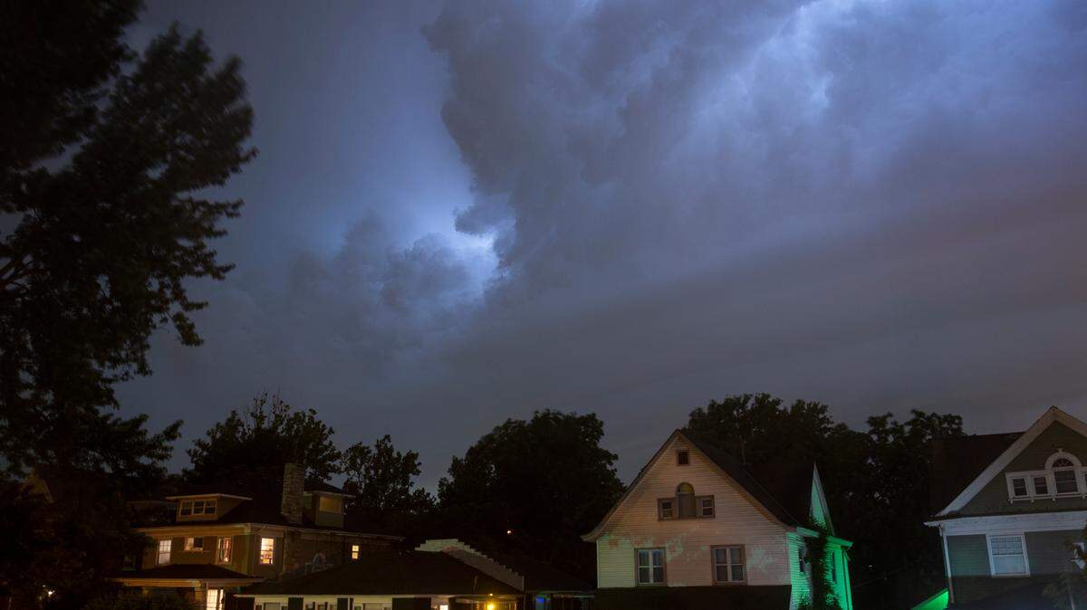
A day after a series of small tornadoes wreaked havoc on parts of the Kansas City metro, the region is under a hazardous weather outlook.
The chance for isolated rain and thunderstorms returns Thursday afternoon and evening, according to the National Weather Service.
Hail and wind gusts are possible as another round of strong storms is expected to come through the area between midnight and 5 a.m. Friday, according to the weather service.
“The stronger swath of these storms are expected in eastern Kansas with the main impacts being isolated pockets of hail, wind gusts, and locally heavy rainfall,” according to the hazardous weather statement.
The risk for more storms comes just a day after many in the Kansas City metro woke to damaging winds, and even tornadoes, as a severe storms hit the area early Wednesday morning.
The National Weather Service confirmed that an EF-2 tornado touched down in northeast Jackson County, near Buckner, Missouri, early Wednesday.
The tornado traveled nine miles and grew to a maximum width of 200 yards. It produced winds up to 115 mph, according to the weather service.
This is the second tornado confirmed in the Kansas City metro overnight. Earlier on Wednesday, the NWS said that an EF-1 tornado hit Johnson County, Kansas, and Jackson County, Missouri.
The tornado produced winds of 100 mph. It traveled 14 miles and grew to a maximum width of 125 yards, according to the weather service.