Near record-breaking highs catch Kansas City off guard, could lead to heat illness
READ MORE
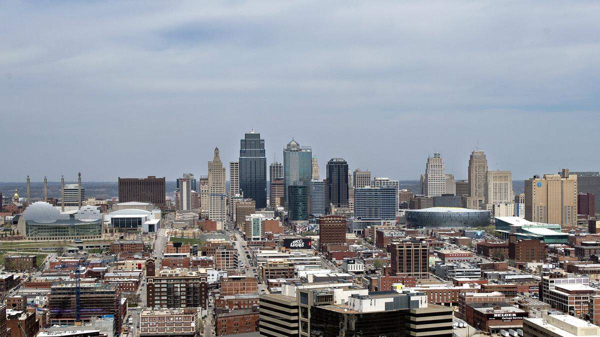
Excessive Kansas City heat
Tornadoes, hurricanes and floods often capture the public’s attention, but it’s the extreme heat that’s deserving of more awareness — it’s the No. 1 weather-related killer. Excessive heat claimed an average of 138 lives per year in the U.S. from 1990 through 2019, according to the
. When Kansas City’s heat turns blistering, we’ve got you covered.
Expand All
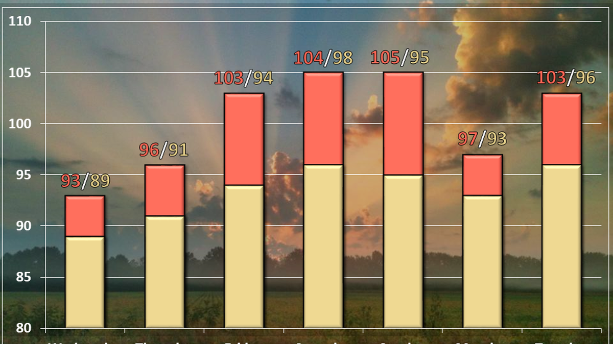
Summer-like temperatures could break records this week as heat descends on Kansas City that will lead to the possibility of index values flirting close to 100 degrees, the National Weather Service said.
Temperatures are expected to be between 90 and 95 degrees Monday through at least Thursday, which is about 20 degrees above normal for this time of year in Kansas City. The humidity could make it feel a few degrees hotter.
“This may catch some off guard after mainly temperatures in the 60s last week,” the weather service said in its forecast.
This sharp transition could lead to health issues for those susceptible to extreme temperatures and for those working outside. Early season heat events cause the most heat related illnesses and deaths because people are not yet acclimated to the weather conditions and vulnerable populations are even more at risk, according to the weather service.
“Be mindful of heat exhaustion signs and prepare by packing extra water and taking frequent breaks if you have to work outside this week,” the weather service said.
The first heat of the year is expected to arrive Monday, along with dew points around 70 degrees. Most people find dew points less than 60 degrees comfortable. When it rises above 65 degrees, the air begins to feel “sticky.” When it climbs into the the 70s, the heat starts to feel oppressive.
The heat index this week is expected to hover around the mid-90s across most of the Kansas City region. Some areas south of Interstate 70, including the Kansas City metro area, could see the heat index flirt with 100 degrees, the weather service said.
A cold front that is expected to move through the area on Friday will bring a chance for widespread showers and thunderstorms. Temperatures will cool a bit, falling to the low- to mid-80s on Friday and Saturday before returning to near normal temperatures on Sunday.
This story was originally published May 9, 2022 at 8:05 AM.

.png)