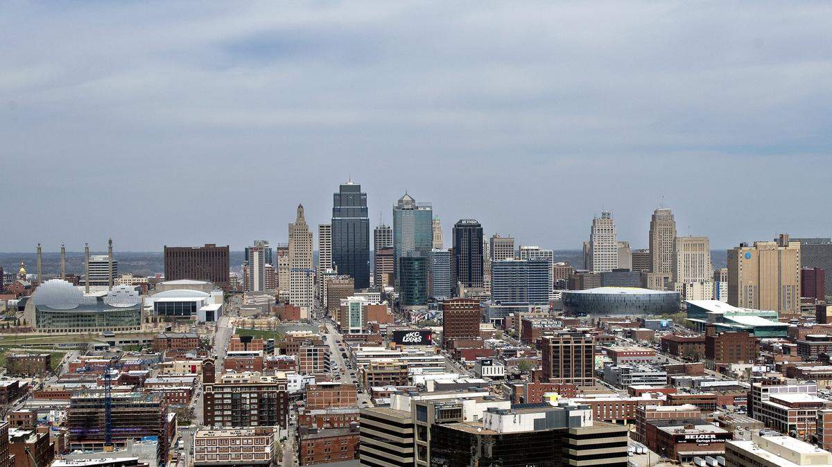
Heat expected to ‘really get cranking’ in Kansas City; Heat index to climb into 100s
READ MORE
Excessive Kansas City heat
Tornadoes, hurricanes and floods often capture the public’s attention, but it’s the extreme heat that’s deserving of more awareness — it’s the No. 1 weather-related killer. Excessive heat claimed an average of 138 lives per year in the U.S. from 1990 through 2019, according to the
. When Kansas City’s heat turns blistering, we’ve got you covered.
Expand All
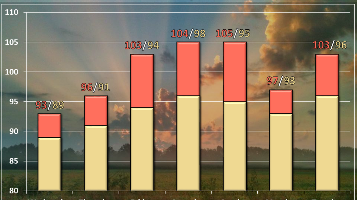
The Kansas City area will see one last day of temperatures a bit below normal before “the heat is expected to really get cranking,” according to the National Weather Service in Kansas City.
Dry weather conditions are expected Tuesday with temperatures in the mid- to upper 80s. That will be a bit below the normal of 89 degrees for this time of year in Kansas City, according to the weather service.
The air quality forecast for Tuesday is “Yellow” or moderate, according to the Mid-America Regional Council’s AirQ Program. People who are sensitive to air pollution should consider limiting prolonged outdoor exertion.
Smoke from wild fires across the western U.S. also has made the sky over Kansas City hazy, the weather service said on Twitter.
Temperatures will warm through the rest of the week, with most of the Kansas City area reaching near 90 on Wednesday. Dew points, which directly affect how “comfortable” it feels outside, will be below 70.
Generally, most people find dew points less than 60 degrees comfortable. When it rises above 65 degrees, people will begin feeling that the air is “sticky.” When it climbs into the 70s, the humidity becomes a nuisance to more and more people and the heat feels oppressive.
The hot weather continues build into the 90s on Thursday. By Friday, temperatures will start to sizzle with low to mid-90s expected.
The air will start to feel muggier too as the dew points reach the low to mid-70s. Heat index values are expected climb to around 100 degrees by Friday. Some areas may see values of 105 degrees, according to the weather service.
Temperatures are expected to climb in the mid to upper 90s on Saturday with afternoon heat index values of 100 to near 110 degrees in some locations.
“If you have outdoor plans Saturday, morning would be the best time for this,” the weather service said in its forecast discussion. “If you do have afternoon plans that can`t be changed, be sure you are drinking plenty of water, wearing light clothing, and taking frequent breaks.”
The hot weather is expected to be around for a while with temperatures in the 90s expected Sunday through Tuesday along with heat index values near or above 100 degrees, the weather service said.
For the long-range forecast, there’s a strong indication that temperatures will be above normal with precipitation will be below normal for late July into early August, according to the weather service.
This story was originally published July 20, 2021 at 8:37 AM.

.png)