Severe weather possible in Kansas City area, National Weather Service says
The Kansas City area hunkered down for possible hail, heavy downpours and tornadoes as the National Weather Service issued severe weather warnings Wednesday afternoon.
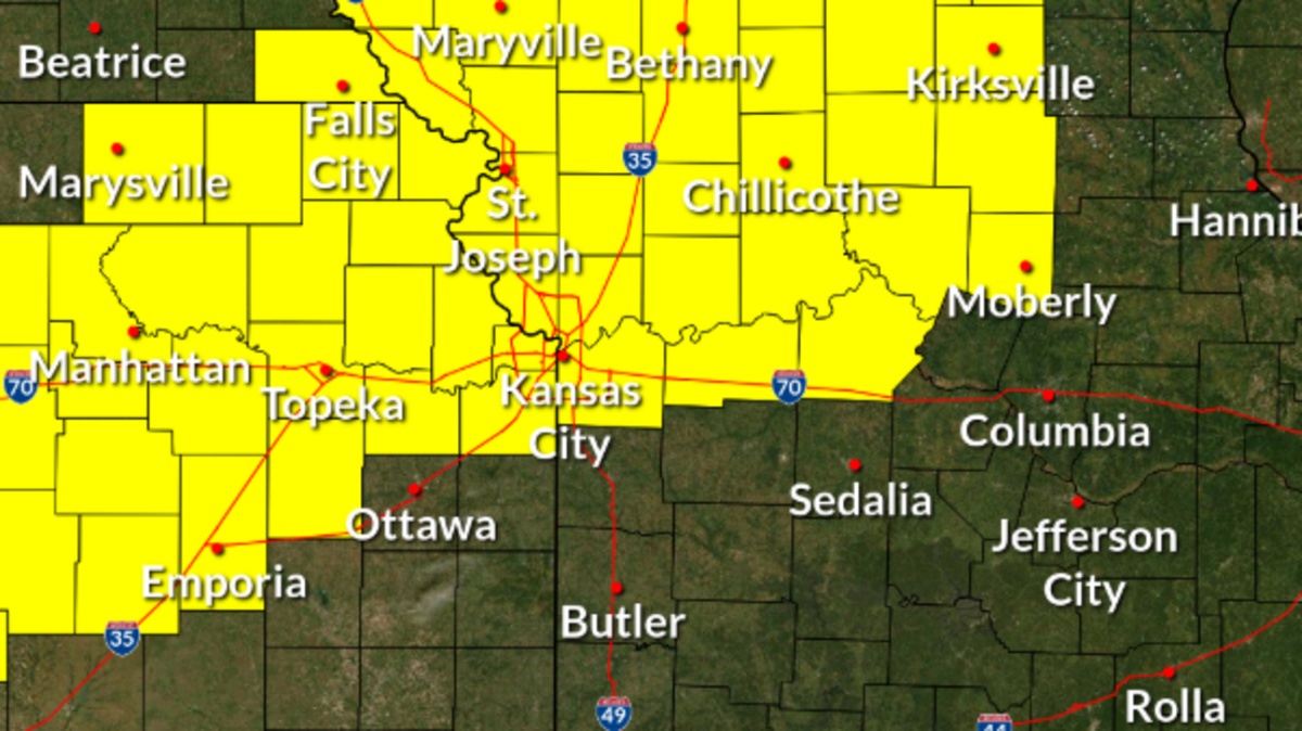
“All severe hazards will be possible,” according to a post from the National Weather Service in Kansas City. Those include damaging wind gusts, large hail, tornadoes and heavy rainfall leading to flash flooding.
A tornado watch is in effect until 9 p.m and includes Johnson, Wyandotte and Leavenworth counties in Kansas, and Clay, Platte, Jackson, Lafayette and Ray counties in Missouri. Other counties across the northeast, northwest, north-central and central areas are also under the watch.
According to the Storm Prediction Center, tornadoes are most likely in far northern Missouri and southern Iowa.
“Hail damage to vehicles is expected. Expect wind damage to roofs, siding and trees,” the weather service said. This is a developing story. Check KansasCity.com for up-to-date information.
The Star’s Robert A. Cronkleton and Caroline Zimmerman contributed reporting.