New Kansas voting map splits up Wyandotte County. What it means for you at the polls
READ MORE
Kansas Supreme Court upholds congressional map that splits diverse Wyandotte County
The Kansas Supreme Court on Wednesday upheld a Republican-drawn congressional map that divides racially diverse Wyandotte County, a blow to Democrats who argued the redrawn lines diluted minority voter power.
Expand All

Kansas Supreme Court upholds congressional map that splits diverse Wyandotte County
Sharice Davids’ district lost KCK Democrats, gained rural Republicans. Is she doomed?
New Kansas voting map splits up Wyandotte County. What it means for you at the polls

Kelly seeks non-partisan redistricting commission after Kansas Supreme Court upholds GOP map
Wyandotte County leaders see long-term struggle after Kansas Supreme Court upholds map
After months of debate in the state legislature and a contentious court case, the Kansas State Supreme Court has officially approved the new voting maps for the state.
These new voting districts will determine how Kansans will elect the state’s four representatives to send to Washington to serve in the U.S. House, as well as state senators, state representatives and state board of education members to serve in Topeka—for the next 10 years.
What changed?
Voters have new districts grouping them together with other voters in the state to elect representatives. Republican lawmakers drew the districts in a way that Democrats said favored Republicans by diluting the voting power of non-white voters and Democrats in the 2nd and 3rd district.
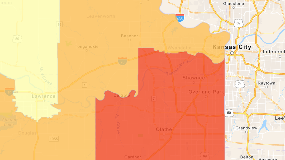
One of the biggest changes to the new map is that Wyandotte County—a Democratic stronghold and the state’s most ethnically and racially diverse area—will be split in two and represented by two different members of congress. It’s the first time in 40 years that the county will be divided.
The dividing line is roughly I-70, with the northern half of the county in the 2nd District, currently held by Republican Rep. Jake LaTurner, and the southern half in the 3rd District, held by Democratic Rep. Sharice Davids.

In addition to the congressional districts, the new maps also change the voting districts for state level officials in Topeka including the Kansas Senate and the Kansas House of Representatives, and the voting districts for the state Board of Education.


When do the changes go into effect?
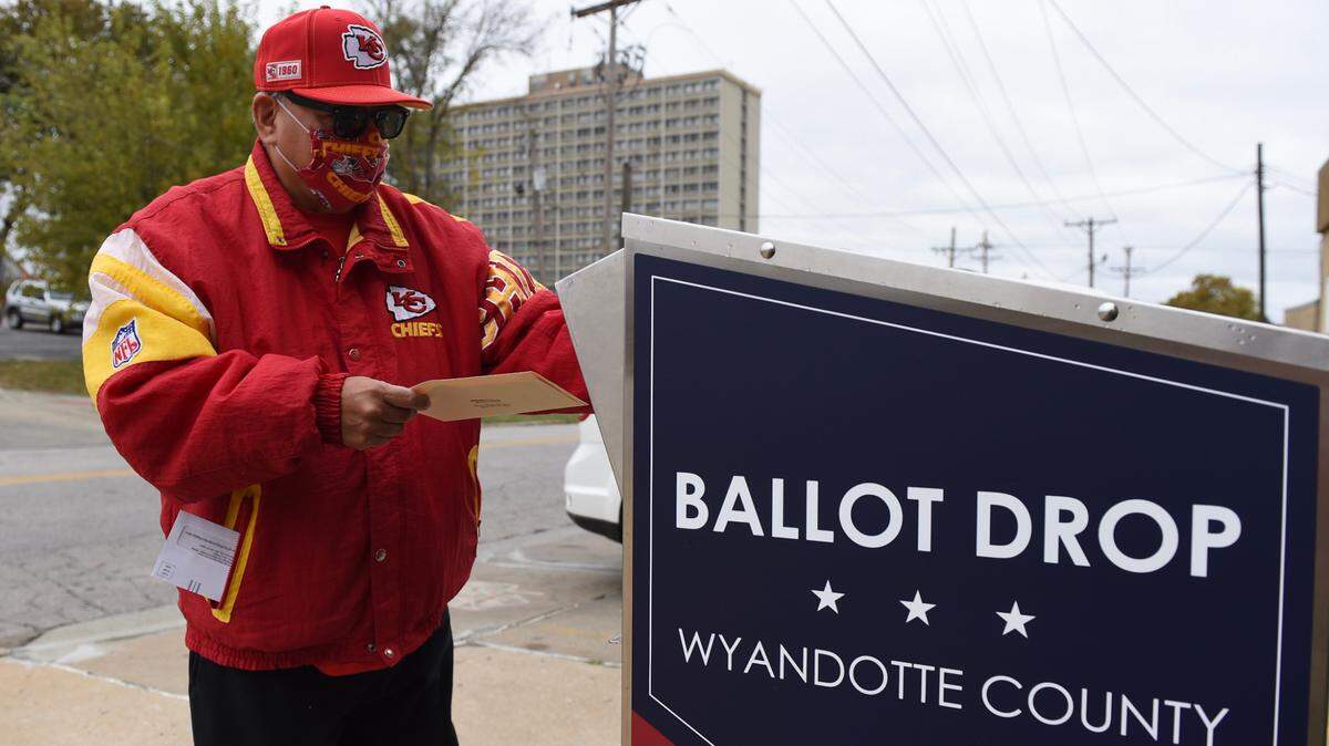
Immediately. The first election with the new maps is Kansas’ primary this summer on August 2.
The new maps will affect the primaries for congressional representatives for the U.S. House, state representatives, and state board of education members.
They will not affect statewide votes like the primary election for governor, or the ballot initiative to remove the right to abortion in Kansas, since those don’t depend on voting districts.
See how your district may have changed
How did these changes come to be?
Every 10 years, state lawmakers redraw the voting maps after the latest census data comes out. This happens in every state in the country through a process called redistricting.
It’s usually a controversial process, and this year was especially contentious.
A quick look back: The Republican-majority legislature drew the maps and passed them. Democratic Gov. Laura Kelly signed the state house, state senate and board of education maps, but she vetoed the congressional map.
Then, the Republican-majority legislature overrode that veto. After that, a Wyandotte County judge deemed the congressional map unconstitutional on the basis of both racial and political gerrymandering, which means the judge thought the map was unfair because it benefitted Republicans and disadvantaged Democrats and non-white voters.
The congressional map went up to the state Supreme Court. On Wednesday, the Kansas Supreme Court decided that the map is constitutional and officially approved it. The court also approved the state level maps as part of a procedure established in the Kansas constitution.
If you have more questions about this process or the August 2 election, let us know at kcq@kcstar.com.
This story was originally published May 18, 2022 at 1:16 PM.