Spotty storms expected across Kansas City as warmer temps move in
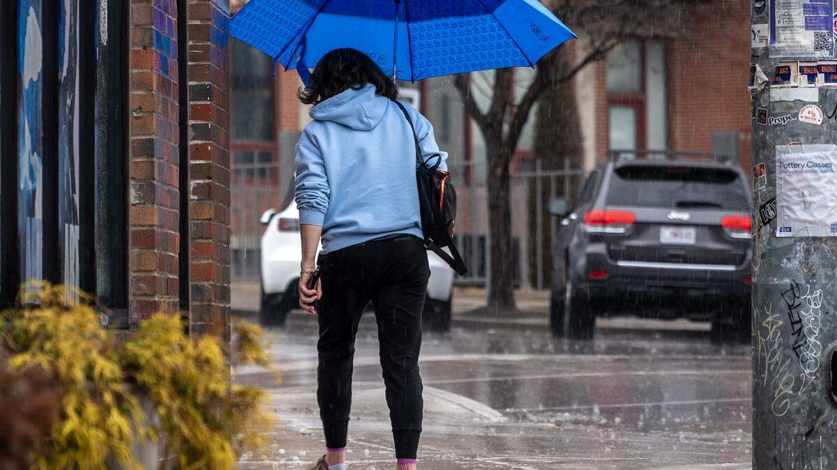
Kansas City could have a soggy afternoon with scattered rain showers and thunderstorms Thursday, then more chances of rain ahead of the weekend.
Rain totals aren’t expected to be significant, but there will be spotty periods of showers starting after 1 p.m., according to the National Weather Service.
The forecast shows the Kansas City area is safe from severe weather, and flooding is not expected.
Rain chances ramp up as temperatures warm in the afternoon and a storm system makes its way further north. Parts of eastern Kansas and western Missouri south of Kansas City could get more rain than in the metro area, the forecast shows.
Thursday, the high temperature in Kansas City is expected to be near 82 degrees. The overnight low is forecast near 66 degrees. Overnight, another chance for a thunderstorm comes after 1 a.m.
Then Friday, rain showers and scattered storms are possible for more of the weather service’s Kansas City forecast area. Both Thursday and Friday, lightning is the main threat from the storms.
Early rainfall predictions are around a quarter to a half of an inch by Friday, according to the forecast.
High temperatures are forecast in the upper 70s to mid 80s Friday and through the weekend, the weather service says.