
Burning discouraged as gusty winds increase fire risk in KC. Storms brewing for next week
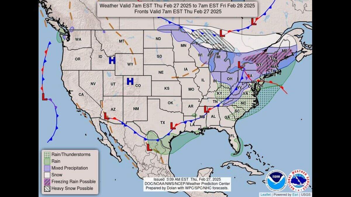
Outdoor burning is discouraged Thursday in the Kansas City area as strong, gusty winds will increase the danger of fires spreading rapidly, according to the National Weather Service.
The weather service has issued a hazardous weather outlook for Kansas City and parts of Kansas and Missouri, saying elevated fire-weather conditions are expected.
Winds are expected to gust up to 30 mph in the afternoon across northeast and central Kansas and central and northeast Missouri. The gusty winds are likely to continue Friday.
Although it will be a bit cooler Thursday, spring-like temperatures will persist in the Kansas City, climbing to the low 60s. It will be warmer and breezier on Friday, reaching near 70 degrees.
Temperatures in Kansas City are typically around 48 degrees this time of year.
Weekend temperatures to return to normal
A strong low-pressure system moving over the Great Lakes area Friday afternoon will bring colder air to the Kansas City area, according to the weather service.
“Unfortunately, what goes up must come down,” the weather service said.
The colder temperatures won’t really be felt until after sunset. Temperatures overnight will bottom out around freezing.
While daytime temperatures will try to rebound, they will only reach highs in the upper 40s on Saturday and mid-50s on Sunday.
The start of next week looks warmer, with temperatures in the upper 50s on Monday and near 64 degrees on Tuesday.
Chances of rain in forecast for Kansas City
A significant shift in the weather pattern is expected next week.
Satellite imagery indicates an elongated low-pressure system off the California coast. This system will move across the southern U.S. late Sunday into early Monday.
Forecast models have the system more southward, keeping any rain showers south of the Kansas City region. However, the weather service said that when looking at the “spaghetti plot tracks” of the low-pressure system, the possibility of rain cannot be completely ruled out.
While the chance of rain has decreased, there’s still a 30-40% chance of precipitation. The weather service said the path of the system as it crosses the Rocky Mountains will affect whether the metro gets rain.
“Higher chances of precipitation come Tuesday and Wednesday when another wave moves on shore,” the weather service said.
This system could bring more active weather, but many uncertainties remain since it’s south of the Aleutian Islands in the northern Pacific Ocean.
This story was originally published February 27, 2025 at 7:53 AM.
