
More rain expected in Kansas City to end the work week. But what about the weekend?
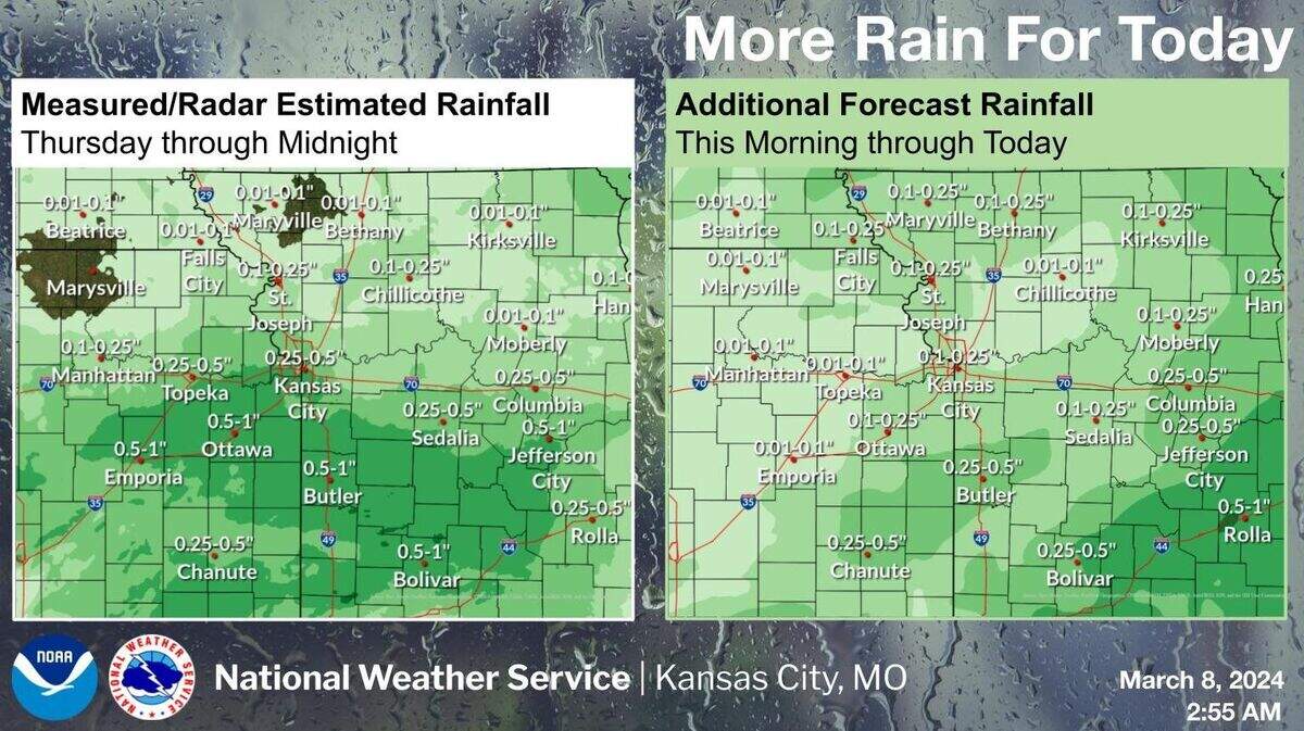
Showers are expected to linger throughout the day Friday in the Kansas City area, but there is a little silver lining in those storm clouds, according to the National Weather Service.
Several areas in the Kansas City region saw close to an inch of rain from the storms that moved across the area Thursday and additional rainfall is expected Friday, between a tenth to half of an inch is possible.
In the Kansas City area, 24-hour rainfall totals as of 6 a.m. Friday ranged from a high of .94 of an inch at Olathe New Century AirCenter in Olathe to a low of .45 of an inch at Kansas City International Airport in the Northland, according to the weather service.
There is a slight chance of thunderstorms in west-central and southwest Missouri Friday morning, however no severe storms are expected. Rain is expected to come to an end this evening.

Cold then warmer weather returns
Kansas City may have already seen its warmest part of the day, which was 49 degrees reported at KCI around midnight. Temperatures are expected to slowly drop throughout the day, falling to around 30 degrees by Saturday morning. Typically, Kansas City temperatures range between a low of 31 and a high of 52 this time of year.
The weather will warm back to normal on Saturday under partly sunny skies in the morning that will become sunny by the afternoon. Temperatures on Sunday will bounce back into the 60s under sunny skies. Winds will be light.
Rain chances return on Tuesday.
This story was originally published March 8, 2024 at 7:20 AM.
