
Roads turn slick for Kansas City’s rush hour after winter storm leaves dusting of snow
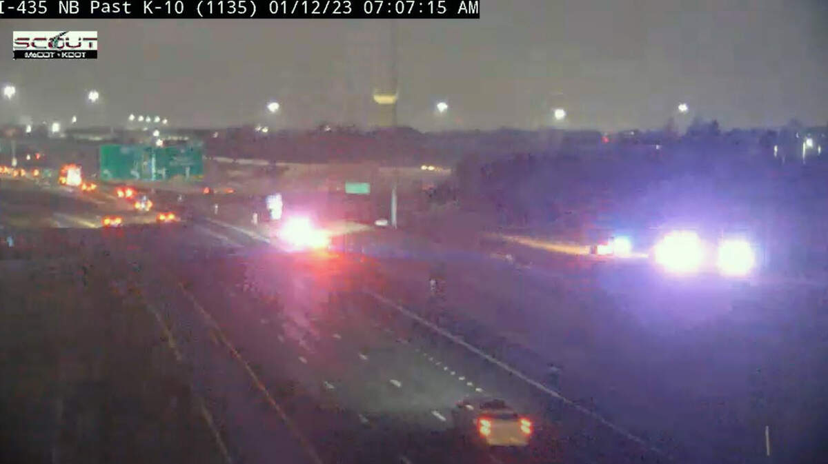
There’s not much snow on the ground from a passing winter storm, but what did fall is turning Kansas City’s roads and bridges slick in some spots, according to the National Weather Service.
“We are starting to see slide offs on traffic cams,” the National Weather Service in Kansas City said on social media. “There isn’t much snow, but the roads are still slick, especially on bridges and over culverts.”
A crash about 6 a.m. closed the ramp from southbound Interstate 435 to westbound Kansas 10 on the Kansas side of the metro area, according to Kansas City Scout traffic management system. It was not immediately known if weather was factor.
Cold air moved into the Kansas City area about 2:30 a.m., causing any precipitation to turn into freezing drizzle or light snow. As of 3 a.m., the automatic weather reporting systems at both Kansas City International Airport and the Wheeler Downtown Airport reported light snow was falling about 3 a.m.
Further south in Pleasant Hill, a wintry mix was falling, according to the weather service.
“If you’re now waking up & living along or south of I-70, you’re probably getting a wintry mix, if not all snow,” the weather service said on social media shortly before 5 a.m. “The bulk of the snow should be exiting the KC Metro in the next hour or so.”
Weather radar indicated that the storm had moved off to the south and east by the time the morning rush hour began. Roads in the Kansas City area, however, remained wet. There was a light dusting of snow on grassy and elevated areas across the metro.

Chilly conditions were expected for the next couple of days in Kansas City, with temperatures hover around freezing on Thursday and dipping into the lower 20s overnight. It was not expected to be much warmer on Friday, with temperatures climbing to just the mid-30s.
The warm up begins on Saturday, with temperatures expected to return to the middle 40s, which is typical for this time of year in Kansas City. Warmer than normal temperatures are expected to return next week, along with an active weather pattern bringing several chances for rain.
So far this year, only 1.7 inches of snow has fallen in Kansas City. Typically there is 6.9 inches of snow by Jan. 10.
“This makes the winter season of 2022-2023 the 21st least amount of snow since we started keeping records back in 1889,” the weather service said.
This story was originally published January 12, 2023 at 7:17 AM.
