
Cold front to bring chance of freezing drizzle to Kansas City area; warmer temps coming
The bitter cold in Kansas City is coming to an end but the metro may have to deal with freezing drizzle first, according to the National Weather Service in Kansas City.
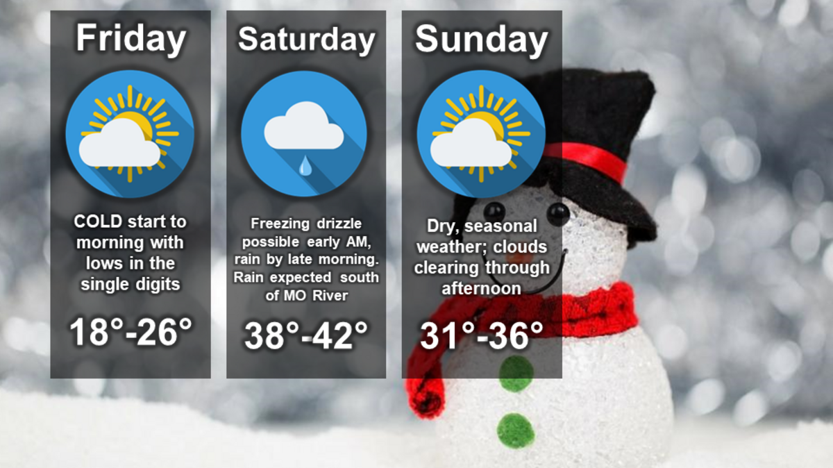
Morning temperatures dipped to the single digits across the metro Friday morning, with wind chills making it feel more like it was around zero degrees at times. But temperatures will slowly begin warming, climbing into the mid- to upper 20s by Friday afternoon, according to the weather service.
A cold front is expected to move through the area bringing the chance for freezing drizzle to the metro, primarily south of the Missouri River Saturday morning. As temperatures warm, the freezing drizzle is expected to switch over to a light rain by late morning, the weather service said.
There’s some uncertainty in the forecast in how quickly the drizzle may start and how fast the temperatures will warm. The freezing drizzle, however, could create slick conditions on untreated roads, parking lots and sidewalks.
Temperatures are expected to climb into upper 30s or low 40s Saturday. It’ll be dry Sunday with temperatures in the lower to mid-30s.
Warmer weather is expected for the start of next week. Temperatures are expected to climb to the mid-50s by Wednesday before dipping back into the 40s at the end of next week, according to the national weather service’s forecast discussion.
