Storms surrender to cooler, less humid conditions over Kansas City
The next few days aren’t going to feel much like July.
In fact, they will feel a bit chilly.
The storms that moved through the Kansas City area Monday night have given way to cooler and less humid weather.
Credit a cool Candadian high pressure area that is settling over the region for the below-normal temperatures through Friday.
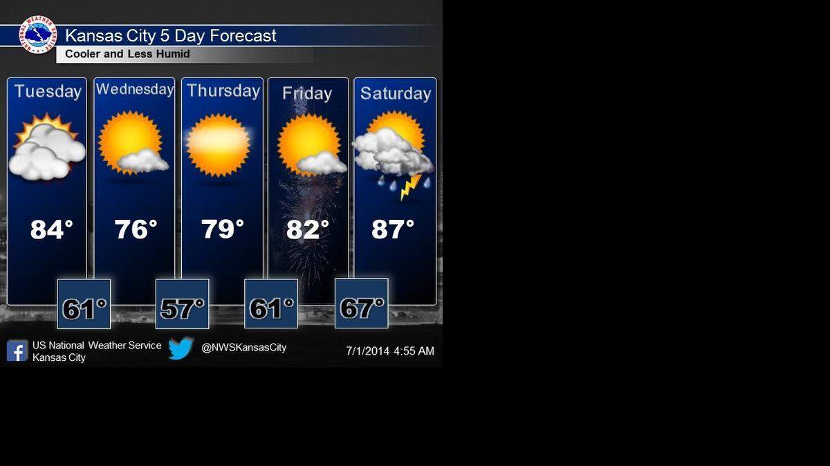
Highs will be in the middle 80s Tuesday, with lows in the lower 60s on Tuesday night.
Wednesday’s and Thursday’s highs are expected to reach only in the middle to upper 70s.
Overnight lows are expected to drop to the upper 50s on Wednesday night and lower 60s on Thursday.
Normal highs are in the upper 80s with lows in the upper 60s.
The next chance for thunderstorms could be Friday night through Saturday night.
Robert A. Cronkleton, bcronkleton@kcstar.com
This story was originally published July 1, 2014 at 11:15 AM with the headline "Storms surrender to cooler, less humid conditions over Kansas City."