
Dry, gusty conditions raise fire risk in KC; Strong thunderstorms to kick off weekend
Strong, possibly severe, thunderstorms will likely rumble through the Kansas City area overnight Friday, bringing the threat of large hail and damaging winds, according to the National Weather Service.
The storms will bring to an end summer-like weather that the metro area has been experiencing this week. Temperatures are expected to be around 80 degrees on Thursday and Friday, well above the normal temperature of 65 degrees that is typical for this time of year in Kansas City.
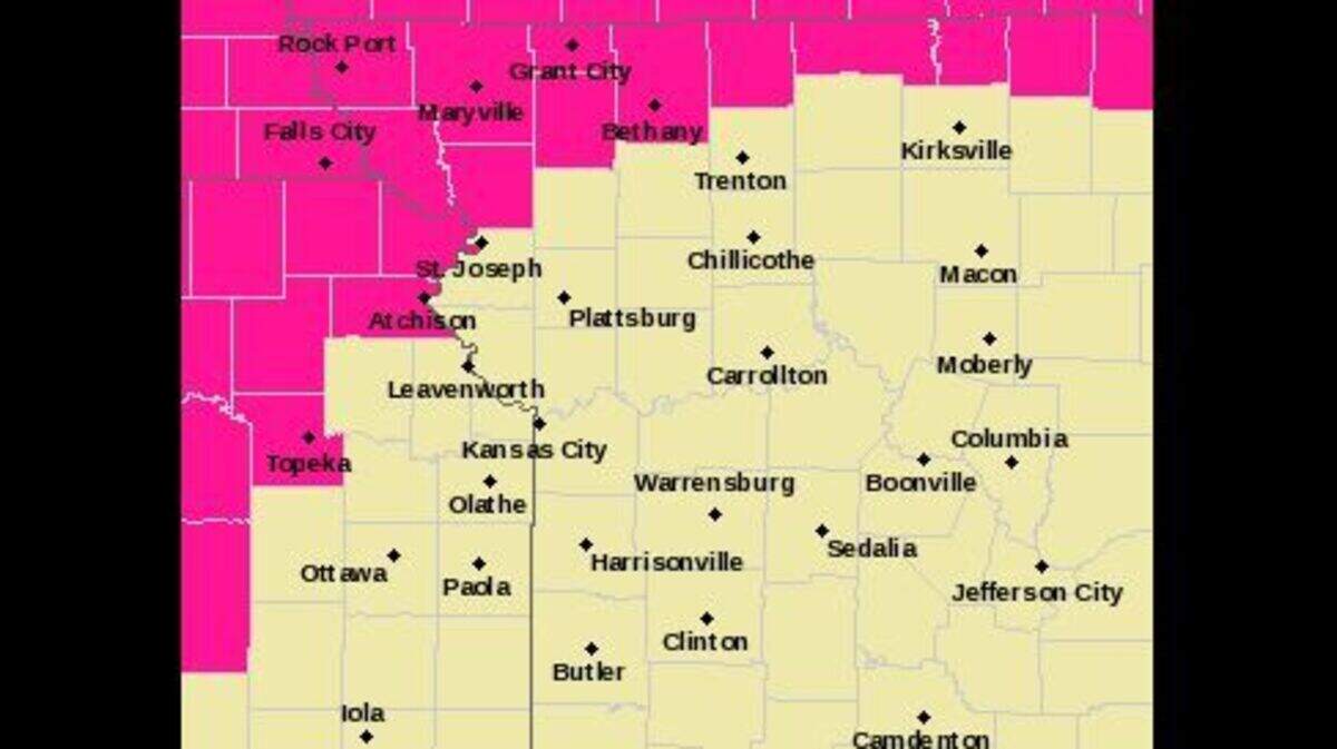
The warm weather will combine with dry and gusty conditions, creating an elevated to extreme risk of fires spreading rapidly. The weather service has issued a red flag warning for northeast Kansas and northern Missouri from noon to 8 p.m. Thursday. Because of the fire risk, outdoor burning is highly discouraged.
A strong cold front is expected to approach the Kansas City area Friday night, bringing the chance for overnight thunderstorms. While the strongest storms will likely be west of the metro in central Kansas, parts of Kansas City are under a marginal risk of isolated severe thunderstorms, according to the Storm Prediction Center.
The main threat from these storms are damaging winds and large hail.
Conditions are expected to return to normal this weekend, with temperatures in the lower to mid-60s on Saturday and Sunday, before warming into the 70s on Monday and near 80 degrees on Tuesday and Wednesday, according to the weather service.
This story was originally published April 13, 2023 at 7:59 AM.
