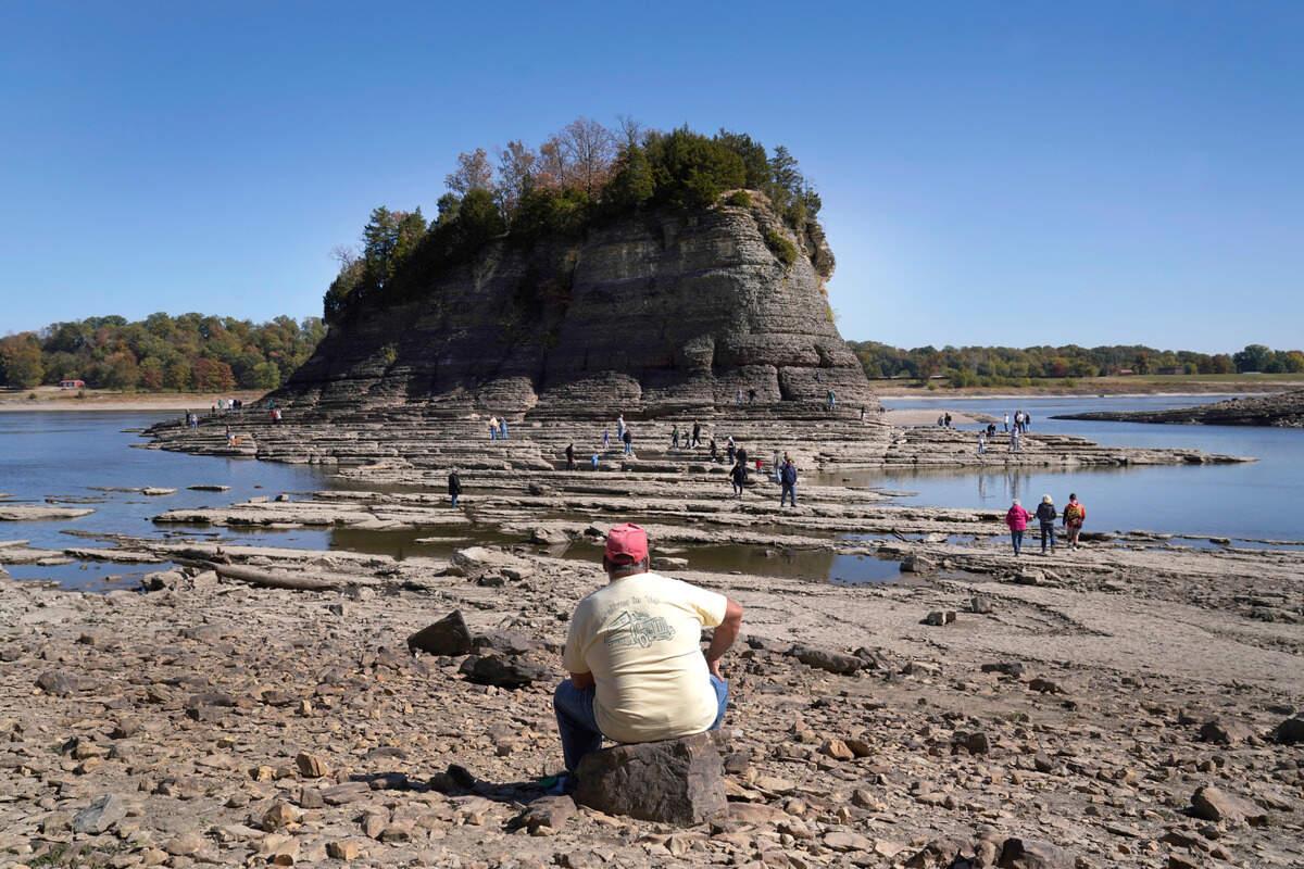
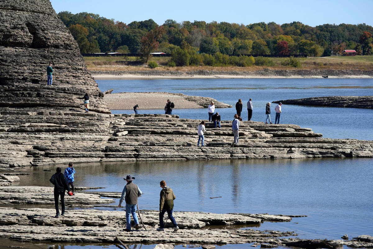
People walk to Tower Rock, an attraction normally surrounded by the Mississippi River and only accessible by boat, Wednesday, Oct. 19, 2022, in Perry County, Mo. Foot traffic to the rock formation has been made possible because of near record low water levels along the river.
Jeff Roberson
AP
The effects of an ongoing drought throughout the Great Plains and parts of the Rocky Mountains has made for a curious attraction that is drawing visitors to the shriveled Mississippi River.
Tower Rock is a natural formation in the middle of the Mississippi River about 100 miles south of downtown St. Louis. The natural rock formation is only accessible by boat when the river is at normal levels. In recent days, the water level has dropped so low in the river that visitors to Tower Rock Natural Area can walk from the river bank out to the formation.
The water level gauge for the Mississippi’s level at Chester, Illinois, showed the water level below 1 foot on Oct. 22.. The rock is usually accessible by foot when the water level is below 1.5 feet.
People walk toward Tower Rock to check out the attraction normally surrounded by the Mississippi River and only accessible by boat, Wednesday, Oct. 19, 2022, in Perry County, Mo. Foot traffic to the rock formation has been made possible because of near record low water levels along the river. Jeff Roberson AP
Randy Statler, of Old Appleton, Mo., sits on a rock as he watches as people walk to Tower Rock, an attraction normally surrounded by the Mississippi River and only accessible by boat, Wednesday, Oct. 19, 2022, in Perry County, Mo. Statler, who lives about 10 miles away, says he can only remember one other time the river was so low as to make walking to the rock formation possible. Jeff Roberson AP
People walk to Tower Rock, an attraction normally surrounded by the Mississippi River and only accessible by boat, Wednesday, Oct. 19, 2022, in Perry County, Mo. Foot traffic to the rock formation has been made possible because of near record low water levels along the river. Jeff Roberson AP
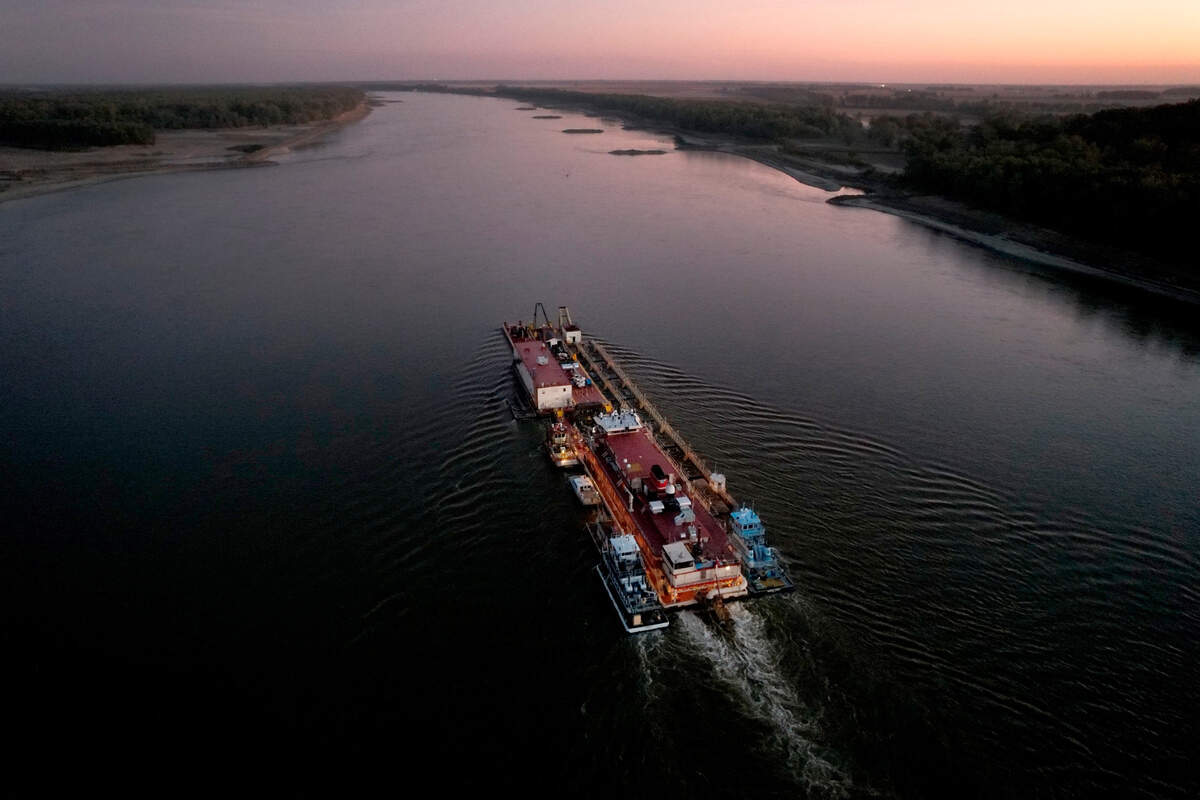
Dredge Jadwin, a U.S. Army Corps of Engineers dredging vessel, powers south down the Mississippi River Wednesday, Oct. 19, 2022, past Commerce, Missouri. The lack of rainfall in recent weeks has left the Mississippi River approaching record low levels in areas from Missouri south through Louisiana, disrupting barge and other traffic along the river as the Army Corps works to keep barge traffic moving. Jeff Roberson AP
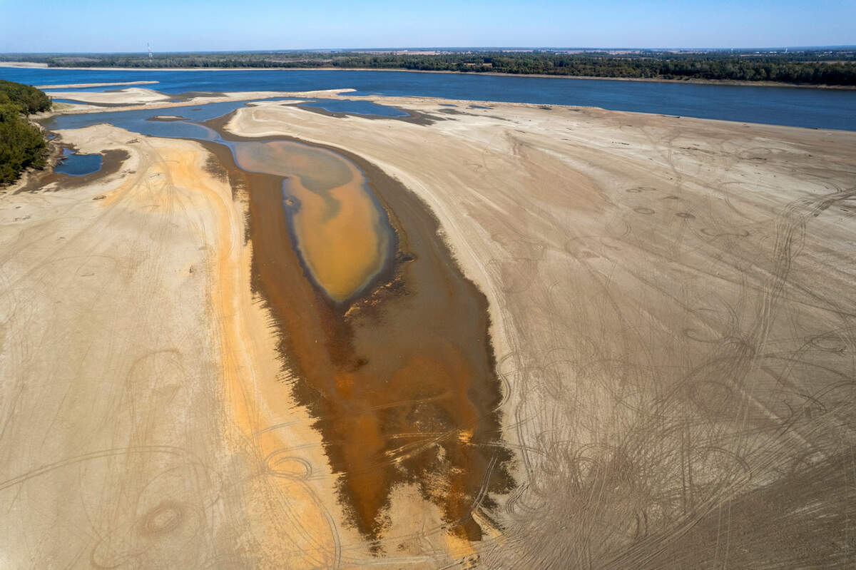
In this photo taken by a drone, debris sits in a dried up river bed where the normally wide Mississippi River would flow Thursday, Oct. 20, 2022, near Portageville, Mo. The lack of rainfall in recent weeks has left the river approaching record low levels in areas from Missouri south through Louisiana, making barge and other travel along the river more difficult. Jeff Roberson AP
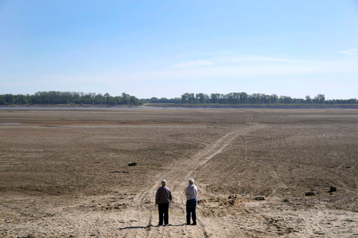
Linda Rawlings, left, and Carolyn Mungle stop to see were the normally wide Mississippi River has been reduced to a narrow trickle off in the distance, making barge and other travel along the river more difficult, Thursday, Oct. 20, 2022, near Portageville, Mo. Mungle, who has lived in the area for over 60 year says she has never seen the river so low. Jeff Roberson AP
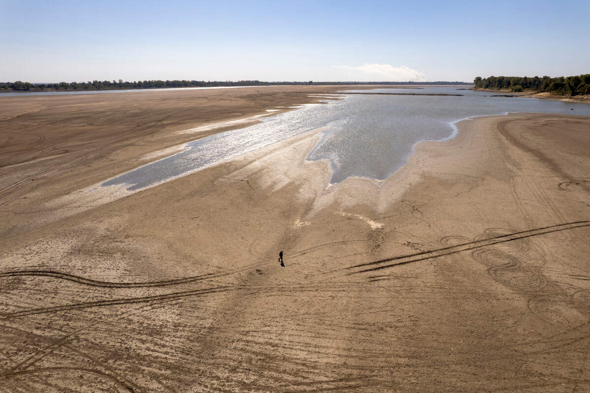
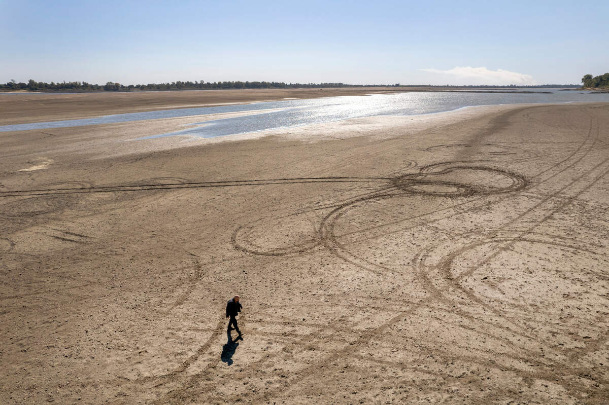
In this photo taken by a drone, James Isaacks walks where the normally wide Mississippi River would flow Thursday, Oct. 20, 2022, near Portageville, Mo. The lack of rainfall in recent weeks has left the river approaching record low levels in areas from Missouri south through Louisiana, making barge and other travel along the river more difficult. Jeff Roberson AP
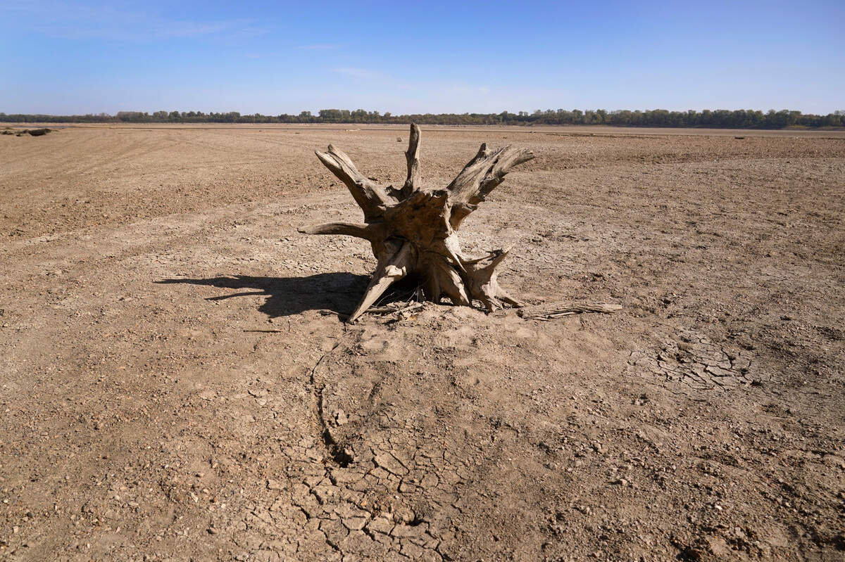
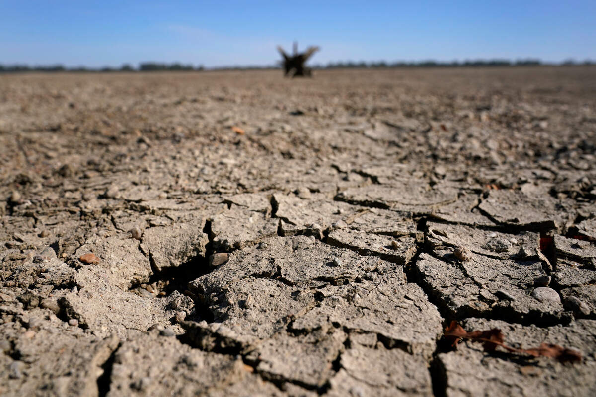
Exposed ground is seen in a dried up river bed where the normally wide Mississippi River would flow Thursday, Oct. 20, 2022, near Portageville, Mo. The lack of rainfall in recent weeks has left the river approaching record low levels in areas from Missouri south through Louisiana, making barge and other navigation along the river more difficult. Jeff Roberson AP
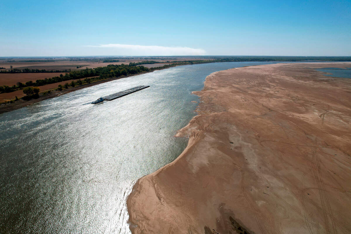
In this photo taken by a drone, a barge maneuvers its way down the normally wide Mississippi River where it has been reduced to a narrow trickle Thursday, Oct. 20, 2022, at Tiptonville, Tenn. The lack of rainfall in recent weeks has left the river approaching record low levels in areas from Missouri south through Louisiana, making barge and other navigation along the river more difficult. Jeff Roberson AP
In this photo taken by a drone, James Isaacks walks where the normally wide Mississippi River would flow Thursday, Oct. 20, 2022, near Portageville, Mo. The lack of rainfall in recent weeks has left the river approaching record low levels in areas from Missouri south through Louisiana, disrupting barge and other travel along the river. Jeff Roberson AP
In this photo taken by a drone, the normally wide Mississippi River has been reduced to a narrow trickle Thursday, Oct. 20, 2022, near Portageville, Mo. The lack of rainfall in recent weeks has left the river approaching record low levels in areas from Missouri south through Louisiana, disrupting barge and other travel along the river. Jeff Roberson AP
This story was originally published October 22, 2022 at 4:28 PM.
Visuals Editor Chris Ochsner leads The Star’s talented staff of photojournalists and video producers. He’s had his hand in directing visuals coverage since 2002. Ochsner led the visuals team in its coverage of four Super Bowls and two World Series.